


Twice a day, the Gulf of Montijo empties and fills again. The tide rises and falls up to 6 meters (20 ft), and the fish, the crabs, the birds and the fishermen all move with it. Few places in Panama change this much in a single day.
Here’s what the Gulf of Montijo is, where it is, what lives in its mangroves, which islands it has and what you can do there.
What Is the Gulf of Montijo?
It’s a gulf on Panama’s Pacific coast, in Veraguas province, where the San Pedro, San Pablo and many other rivers meet the sea. Since 1990 it has been a wetland of international importance (Ramsar site), and today it’s Panama’s largest Ramsar wetland: around 97,000 hectares according to the latest measurement, with over 10% of the country’s mangroves.
It’s not only mangroves. The wetland combines estuaries, beaches, marshes, several mangrove species, grasslands that flood in the rainy season and even rice fields. About 23,000 hectares are mangrove forest.
Where Is the Gulf of Montijo?
In southern Veraguas, between the Azuero Peninsula and the Sona Peninsula. The wetland reaches into the districts of Montijo, Sona, Rio de Jesus and Santiago. The best-known gateway is Puerto Mutis, about 30 minutes from Santiago.
Life in the Mangroves
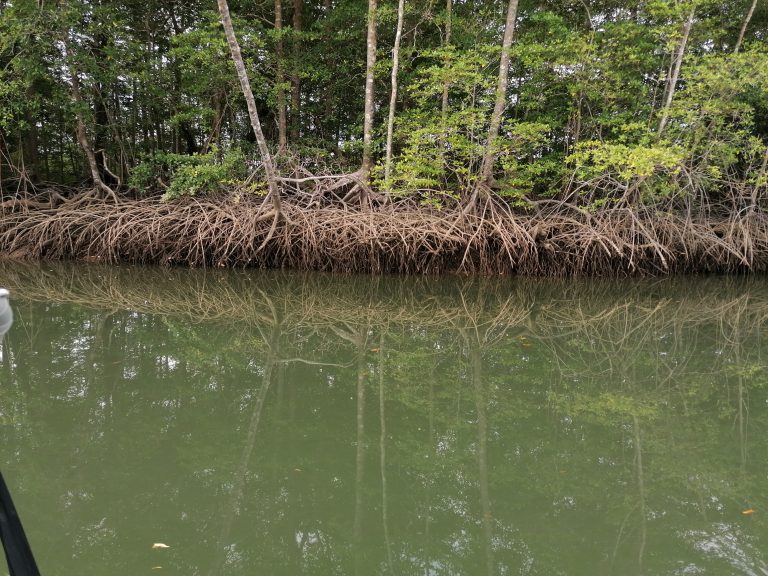
When the tide drops, the mangroves show their secret: a maze of roots that looks hand-woven. Thousands of baby fish, shrimp and crabs hide in there, out of reach of their predators for a few hours.
That’s why mangroves are called the ocean’s nursery. They cover just 0.1% of the planet, yet up to 80% of the world’s fish catch depends on them in some way. They also store up to four times more carbon than a tropical rainforest. Many of the fish that later move out to the rocks and the open sea spend their first months right here, and around 800 local fishers make their living from that abundance. Read the full story in The Ocean’s Nursery.
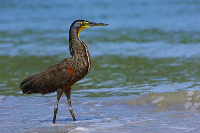
- Birds: tiger herons on the roots, roseate spoonbills on the mudflats and the yellow-billed cotinga, a near-threatened bird found only on the Pacific coast of Costa Rica and Panama. The gulf is literally a bird hotel, especially Isla Perdomo.
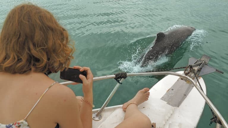
- Dolphins: more than 80 bottlenose dolphins live in the gulf all year.
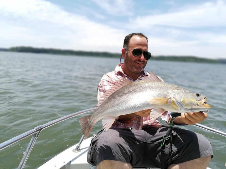
- Fish: yellow corvina, red snapper, snook, cubera snapper, jack crevalle, pompano and grouper.
- Black clams: harvested from the mangrove mud; a monitoring center on Isla Leones, run with the University of Panama, helped set closed seasons and minimum sizes.
- Crocodiles: don’t be surprised to see one sunbathing on a muddy bank.
The Gulf Isn’t Alone
So where do all those fish go when they grow up? Some stay. Others leave the gulf for Coiba National Park, and from there, the open ocean.
The Gulf of Montijo and Coiba are linked like a cradle and a home. The hawksbill sea turtles that feed on Coiba’s reefs swim to the beaches of Mariato, and as far as Costa Rica’s Osa Peninsula, to lay their eggs. Sea turtles, rays, crocodiles and hundreds of other species come and go along these ocean highways.
And Coiba isn’t alone either. It’s part of the Eastern Tropical Pacific Marine Corridor, together with Cocos Island, Malpelo and the Galapagos: four World Heritage Sites joined by the same currents. A superhighway of life, and the Gulf of Montijo is one of its nurseries.

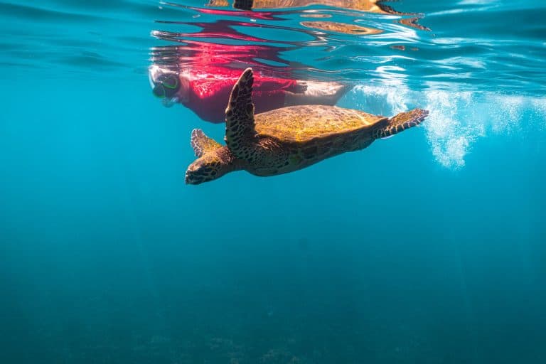
Protecting the gulf’s mangroves means protecting Coiba’s sea turtles and everything that travels that highway. When you head out on the gulf with us, you step into something much bigger.
A Bird Hotel That Never Closes
At sunrise, Isla Perdomo looks like a hotel lobby at checkout time. Hundreds of birds head out for breakfast: frigatebirds, brown pelicans, neotropic cormorants and herons that spent the night on the island. At dusk, they all check back in.
But Perdomo is just one wing of the hotel. The whole gulf works the same way: it has year-round residents and seasonal guests that fly thousands of miles from North America to spend the winter in its mangroves and its 3,200 hectares of tidal mudflats.


To see it, you have to get up early. On The Bird Awakening we head into the mangroves at sunrise, right when the hotel opens its doors. See the kayak tour and pick your date. And one house rule: watch from a distance, keep it quiet and stay away from the nests.
Want to hear the bird hotel check out at dawn? Read sunrise in the estuary, minute by minute, from the first howler roar to the first bite.
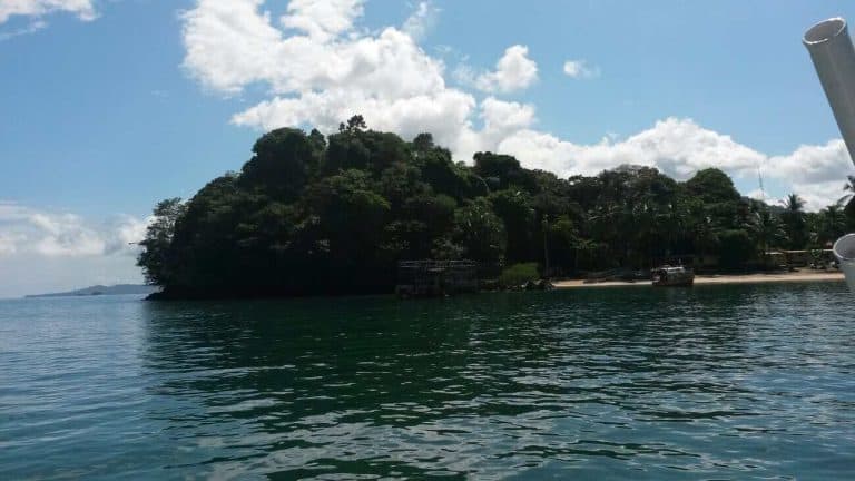
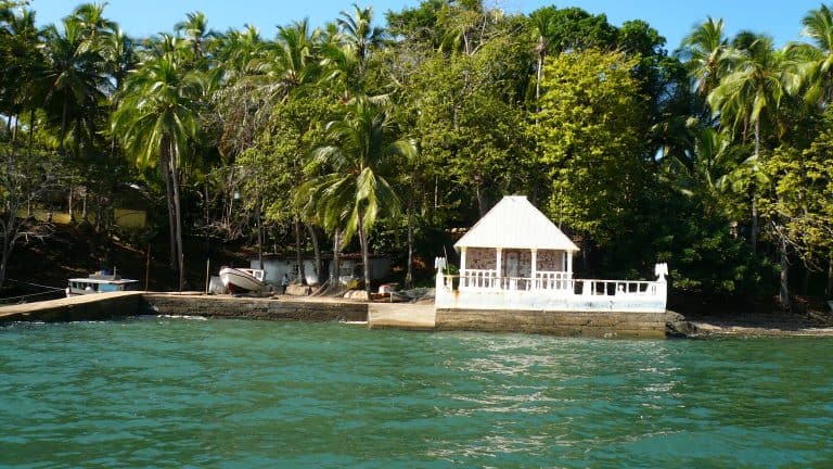
The Islands of the Gulf of Montijo

Things to Do in the Gulf of Montijo
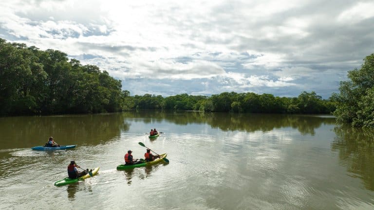
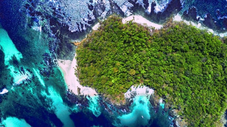
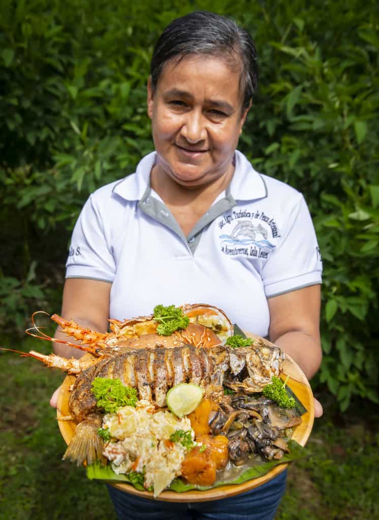
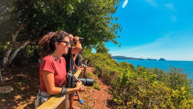
Nobody’s Waiting at the Dock (and That’s on Purpose)
Every trip is private and set up just for you: the captain checks the tide, loads the ice and plans the route before you arrive. That’s why every tour, ours and the gulf captains’ alike, is by reservation only.
Send us your date on WhatsApp and we’ll have the boat ready.
Plan your visit: Puerto Mutis fishing guide · Puerto Mutis guide · Cebaco Island guide · Tres Islas · Isla Verde · how to get to Coiba.
The Tide Changes Everything
With a tide of up to 6 meters every six hours, the gulf changes its face during the day: sandbars appear and disappear, channels fill and drain, and boats plan their routes around the water. That’s why captains here check the tide table before they check the clock.
How to Take Care of the Gulf
- Don’t leave trash on the boat or the beaches.
- Use reef-safe sunscreen.
- Don’t chase dolphins or feed wildlife.
- If you fish, keep only what you’ll eat and release the rest.
Explore the gulf with us
We leave from Club Náutico de Veraguas in El Bongo, 5 minutes from Puerto Mutis.
Private boats with a local captain to go fishing, spend a beach day on Cebaco Island or explore the mangroves.
The birds get the headlines, but the trees have their own tricks: roots that breathe, leaves that sweat salt and seeds that sprout before they fall. Read 10 fun facts about the mangroves of the gulf before your trip.
Who else lives in the gulf? Read our guide to the estuary animals of the Gulf of Montijo: 23 species, from fiddler crabs to bottlenose dolphins.
Gulf of Montijo: Frequently Asked Questions
Where is the Gulf of Montijo?
On Panama’s Pacific coast, in southern Veraguas province, between the Azuero and Sona peninsulas. Its best-known gateway is Puerto Mutis, in Montijo.
Why is the Gulf of Montijo a Ramsar site?
Because its mangroves, estuaries and marshes are vital for fish, birds and fishing communities. It was declared a wetland of international importance in 1990 and today it’s Panama’s largest Ramsar wetland.
Which islands are in the Gulf of Montijo?
The best known are Cebaco Island, Gobernadora Island, Isla Leones, Isla Verde and Tres Islas.
What wildlife can I see in the Gulf of Montijo?
Lots of resident and migratory birds: the gulf is literally a bird hotel, especially Isla Perdomo. Look for tiger herons, roseate spoonbills and, with luck, the yellow-billed cotinga. You’ll also find more than 80 resident bottlenose dolphins, crocodiles, and fish like yellow corvina, red snapper and snook.
How do I get to the Gulf of Montijo?
Drive to Santiago de Veraguas (about 4 hours from Panama City), then about 30 minutes more to Puerto Mutis or to Club Náutico de Veraguas in El Bongo, where our boats leave from. More details in our Puerto Mutis guide.