

On a clear morning at the top of Volcan Baru, the highest point in Panama, you can see the Pacific Ocean and the Caribbean Sea at the same time. Then drive down to the Pacific coast, and the sea starts playing tricks on you.
In the Gulf of Montijo, in Veraguas, the water rises and falls up to 6 meters twice a day. Roots, sandbars and whole beaches appear and disappear. On the Caribbean side of the same country, the tide barely moves.
That is Panama in a nutshell: a narrow strip of land between two oceans, small enough to cross in a day and wild enough to hold almost every landscape of the tropics. But the best ones don’t show up from the highway. You have to come by water.
What Is Panama’s Landscape Like?
Panama is a narrow isthmus that joins Central and South America, with the Caribbean Sea to the north and the Pacific Ocean to the south. A spine of mountains runs down the middle, topped by Volcan Baru (3,474 m), and drops to tropical rainforest, rivers and lowlands on both sides. Nearly 3,000 km of coastline are lined with beaches, mangroves and coral reefs, and more than 1,500 islands sit offshore, from the Caribbean archipelagos to Coiba National Park in the Pacific.
Open Panama in Google Maps →Panama Landscape Facts
Seven numbers that explain why such a small country looks so different from one hour to the next.
What Are the Main Geographical Features of Panama?
Panama’s main geographical features are its mountain spine (the Talamanca range and the Central Cordillera), two very different coasts, more than 1,500 islands, and the lowlands where its rivers, wetlands and mangroves meet the sea. They all come from the same story, and it starts underwater.
Panama’s Most Spectacular Landscapes, One by One
Eight landscapes, eight places to see them. Most are on the Pacific side, in Veraguas and on the Azuero Peninsula, where we spend our days on the water. For a province-by-province plan, read our guide to Veraguas.




What Is the Prettiest Place in Panama?
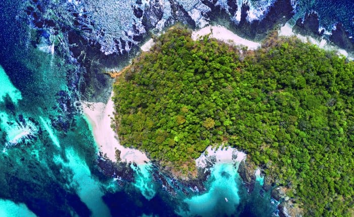
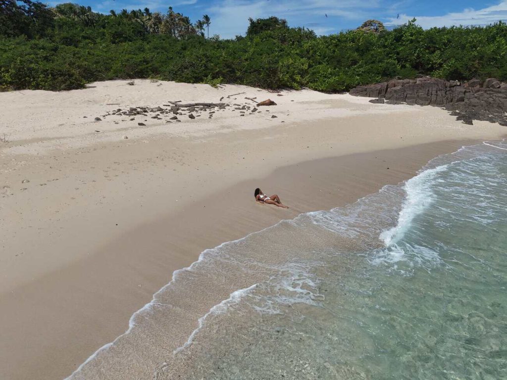
Panama doesn’t have one prettiest place. It has one for every landscape. If you ask us, though, it’s the beaches of Coiba National Park, and we are not the only ones who think so.
In the first scenic assessment of the park’s beaches, the Coiba AIP Scientific Station scored 42 beaches one by one, from the shape of the coast to the color of the water. Isla Coco came out on top.
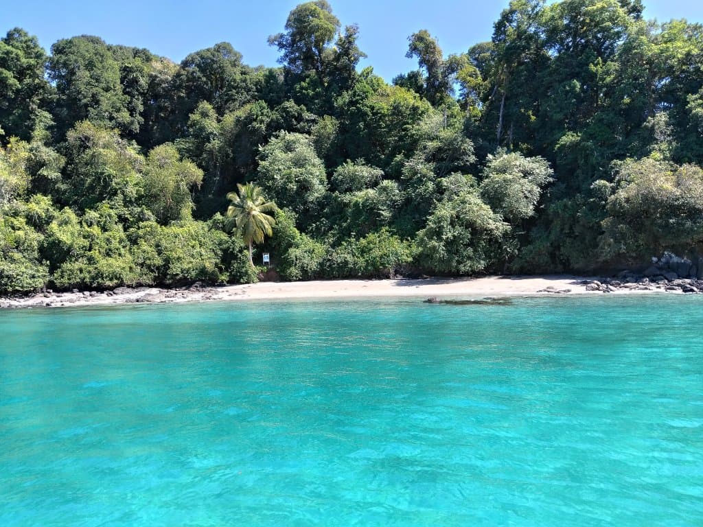
Coiba National Park: The Wild Side of Panama
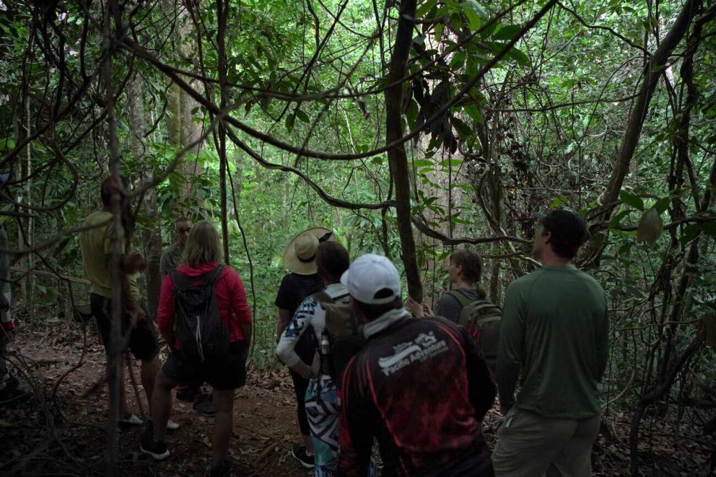
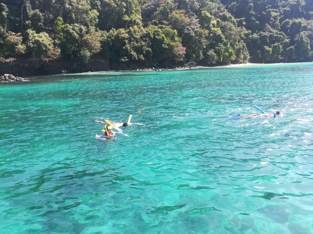
You can walk the jungle trails, snorkel with sea turtles and spend the afternoon on a beach like Rancheria. Granito de Oro, once the park’s most famous snorkeling spot, is now closed for conservation, and that is good news for its reef. Planning a visit? Start with how to get to Coiba.
The Gulf of Montijo: A Landscape That Changes Every 6 Hours
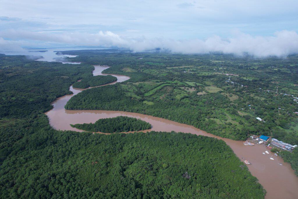
Fresh water from the highlands of Veraguas runs down rivers like the San Pedro. Every time the tide comes in, the ocean pushes salt water up every channel of the gulf. The result is brackish water, and the mangroves that grow in it are a nursery for the ocean.
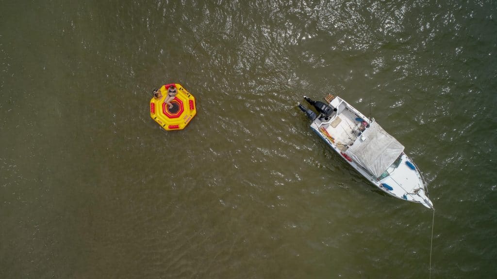
The gulf has fewer than 10 islands, and that is part of its charm: the landscape is the water itself, the birds and the mangroves. Most trips leave from El Bongo, 5 minutes from Puerto Mutis. To understand why it matters, read the ocean’s nursery and why mangroves are important.
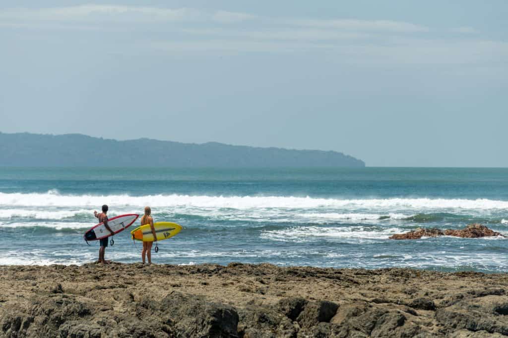
Mariato: The Sunset Coast

Read more in our guide to the Mariato coast.
Azuero’s Coast: Pedasi, Isla Iguana and Isla Cañas
Pedasi is a colonial town of white houses, festivals and fishing boats, on the stretch of coast known as the Tuna Coast. Offshore, Isla Iguana turns the water a shade of turquoise that doesn’t need a filter, and from July to October humpback whales pass close to shore.
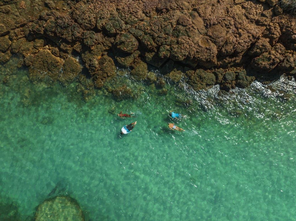
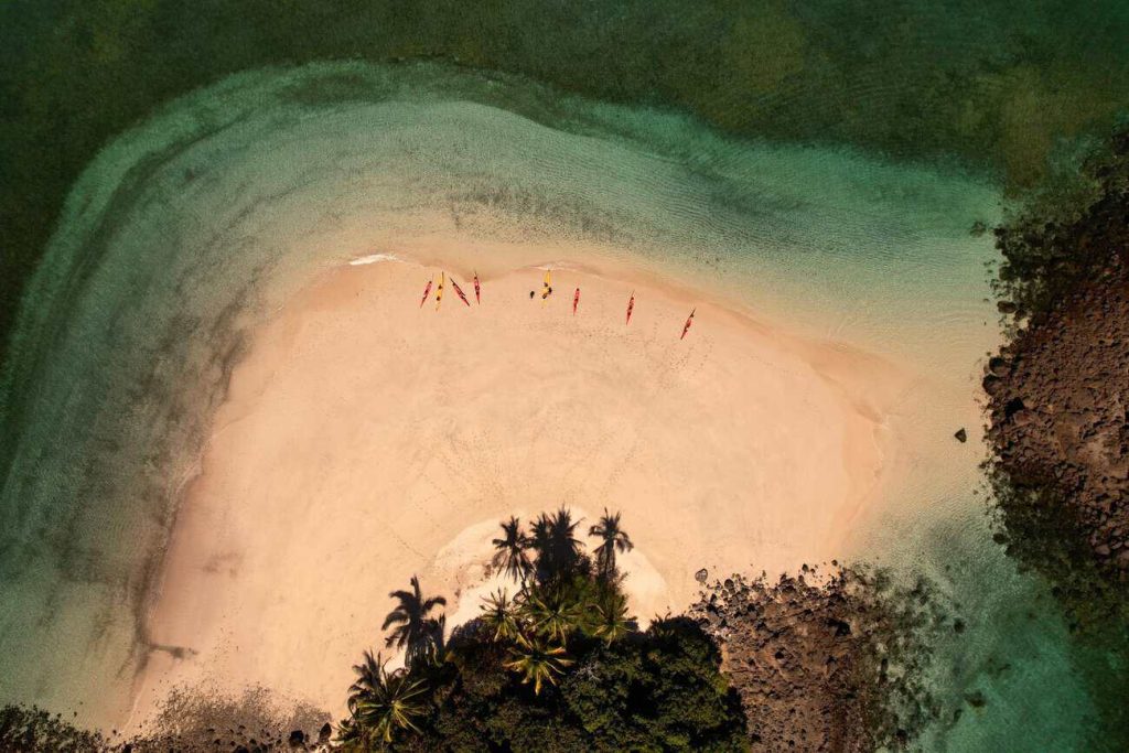
About an hour from Pedasi, Isla Cañas is one of the few beaches on the planet where sea turtles nest in mass arrivals. The community runs the tours, protects the nests and paddles visitors through the mangroves. More in our sea turtle guide.
Panama’s Cultural Landscapes
Some of Panama’s best landscapes were shaped by people. The Panama Canal, which opened in 1914, is one of the Seven Wonders of the Modern World. Colonial towns like Pedasi keep their churches and squares, and in the mountains of Veraguas the church of San Francisco de la Montana hides altars carved in wood and covered in gold.
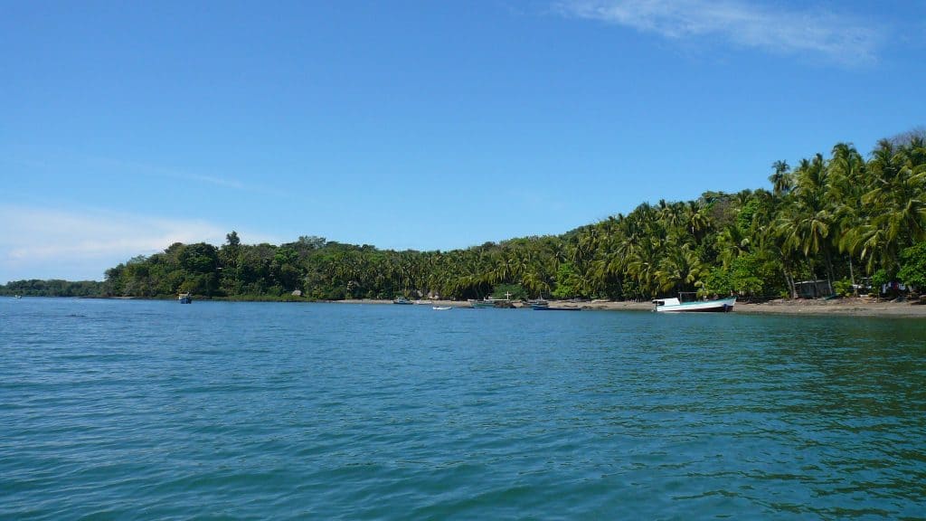
How to See Panama’s Landscapes From the Water
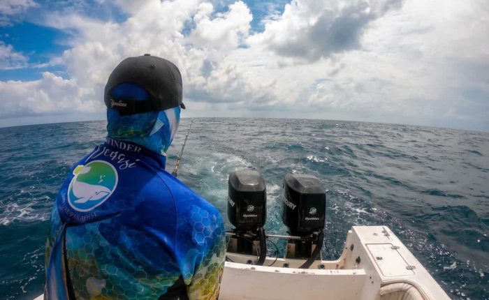
The most spectacular landscapes of the Pacific have no road to them. All our tours are private, with one boat for your group, and the route follows the tides, the weather and your pace. Here is where we would start.
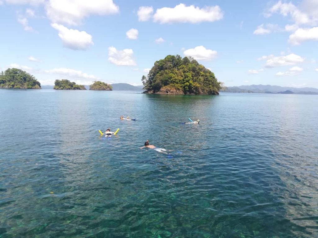
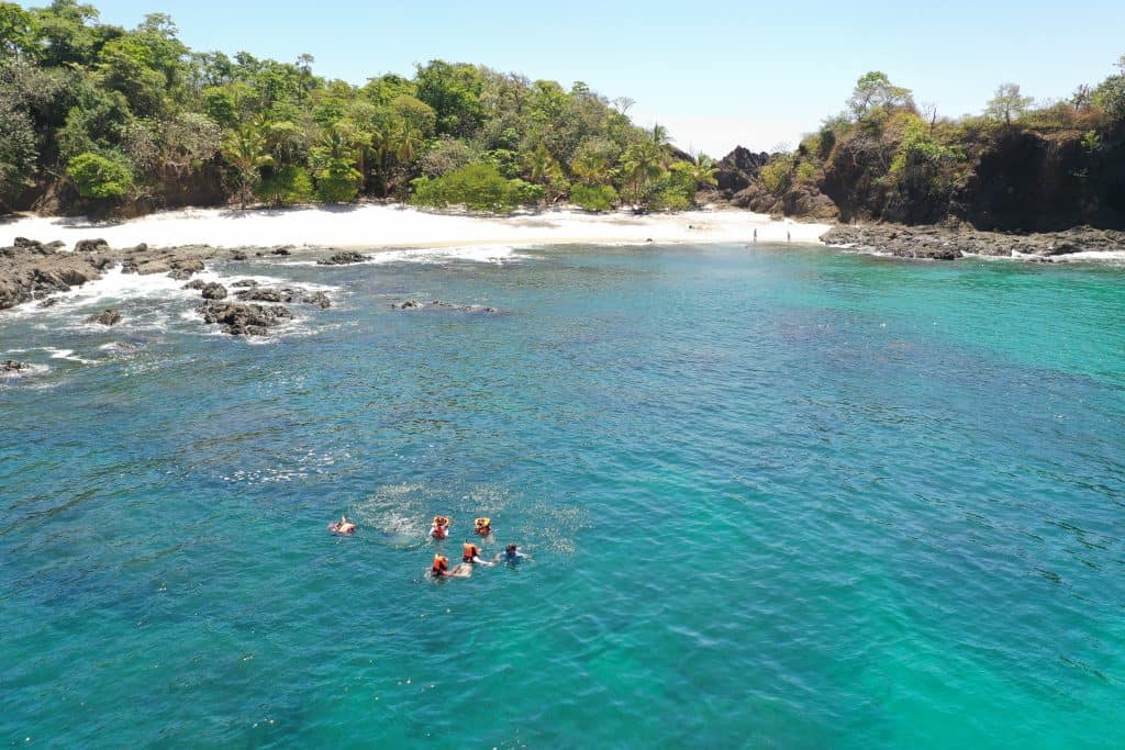
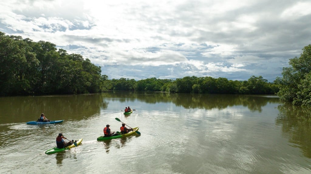
Complete flexibility to suit everyone’s preferences, always respecting nature.
Adelaida Torres, Google review
Frequently Asked Questions
What is Panama’s landscape like?
Panama is a narrow isthmus between the Caribbean Sea and the Pacific Ocean. A chain of mountains runs down the middle, with Volcan Baru (3,474 m) as the highest point, surrounded by tropical rainforest, rivers and lowlands. Both coasts have beaches, mangroves and coral reefs, and the country has more than 1,500 islands.
What are the main geographical features of Panama?
The main geographical features of Panama are the Talamanca range and the Central Cordillera, Volcan Baru, the Caribbean and Pacific coasts, more than 1,500 islands, large mangrove wetlands such as the Gulf of Montijo, and the Panama Canal, which cuts across the isthmus.
What is the prettiest place in Panama?
It depends on the landscape you love, but the beaches of Coiba National Park are hard to beat. In a scenic assessment of 42 beaches in the park by the Coiba AIP Scientific Station, Isla Coco ranked first. Granito de Oro, the most famous one, is closed for conservation.
What is Panama famous for?
Panama is famous for the Panama Canal, for being the narrow land bridge between two oceans and two continents, and for its nature: rainforests, more than 1,500 islands, Coiba National Park (a UNESCO World Heritage Site), humpback whales from July to October and sea turtle beaches.
Where can I see Panama’s most spectacular landscapes on a tour?
On the Pacific side, in Veraguas and on the Azuero Peninsula. Pacific Adventure Tours runs private boat tours to Coiba National Park (from $950 per boat), Cebaco Island ($650 per boat) and the Gulf of Montijo, with departures from Santa Catalina and from El Bongo, 5 minutes from Puerto Mutis.